Total Distance: 36 km
Return Time: 2-3 days
Elevation Gain: 2341 m
Difficulty: Moderate
Region: Kluane
Traditional Territory: CAFN
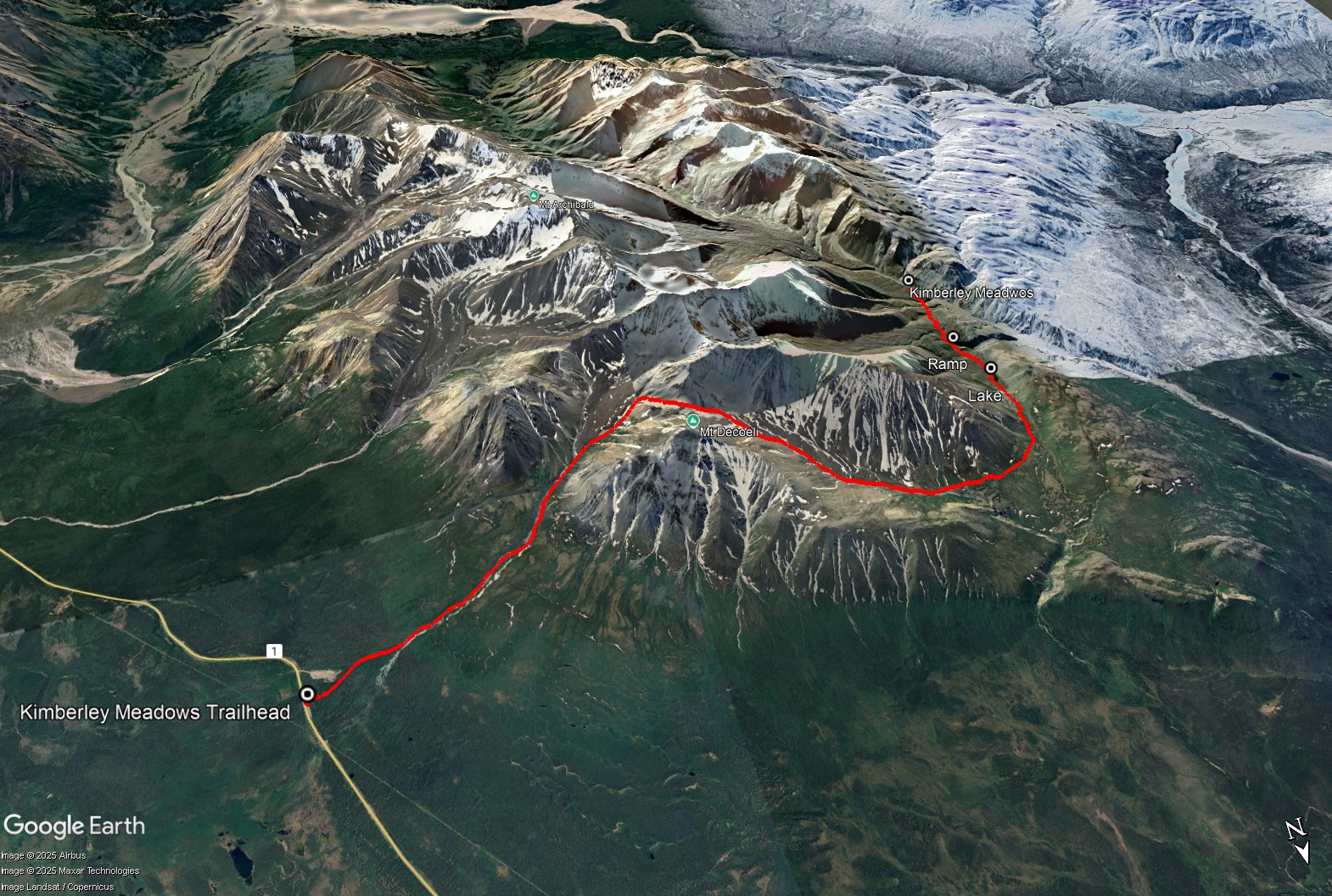
This is a multi-day hike that takes you behind Mount Decoeli to a high sub-alpine plateau. The route is varied between creek crossings, rock moraines and tussocks. There are multiple places to camp along the route, and a day hike the next day or overnight trip to Kimberley Meadows is also an option.
From Haines Junction, drive north along the Alaska Highway for about 20 km. Just north of the Bear Creak Summit sign, there is a pull-out on the left. This is the same trailhead as for Mount Decoeli.
This route follows the Mount Decoeli route for the first 5.2 km. Once at the base of Decoeli where the route to the peak begins, continue passed it and along the meadow heading up the valley, or in the creek gulley below if water levels are low. Keep hiking to very back of the valley, as you are aiming for the very last possible right turn which leads to a low saddle. It is about 6.6 km from the trailhead to where you will start the main climb to the saddle. It is possible to camp at the base of the saddle at the end of the valley. From here, it is a gentle climb up to the saddle, with about 300 m elevation gain.
The other side of the saddle is also a gentle descent, where you will be dropping down 500 m in elevation. You will follow along the right side of the rock glacier. Late snow patches make the walking easier, otherwise you will be hiking down a mixture of various sized rocks, which is safe but tedious. Continue down alongside the rock glacier until you reach its toe (the end of the glacier).
Now you can start to angle to your left (west), down towards the vegetated slope. You are going to be contouring along this slope heading west and then southwest. You don't need to aim too high or too low. Aim to be above the non-vegetated gully but below the steeper hills above.
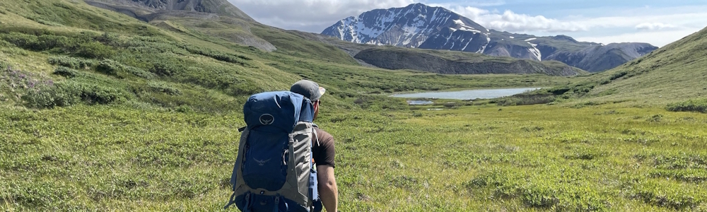
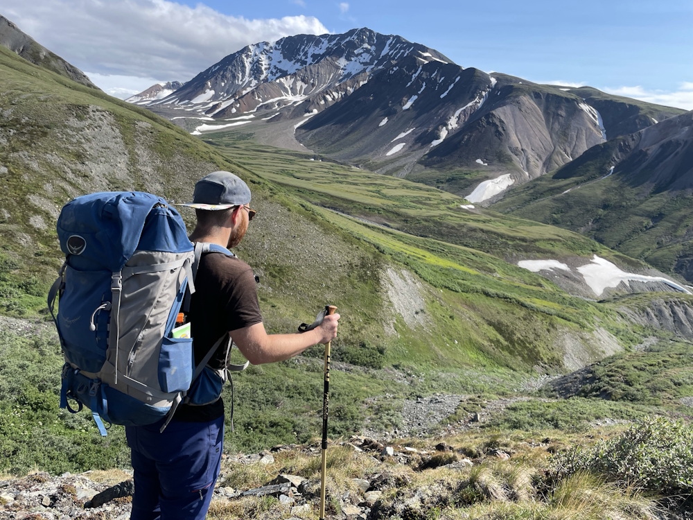
Once you arrive on the vegetation, continue circling all the way around until you are funnelled up a narrow alpine area towards the south. Views of majestic peaks towards Mt Cairnes will come into view. You will eventually reach a sub-alpine lake, 15 km from the trailhead. This is a good place to camp. There are options to hike up some smaller peaks as a day hike from here, and also to hike to Kimberley Meadows.
To reach Kimberley Meadows from the alpine lake, you will need to hike another 3.2 km. You can either day hike from the lake or bring your gear to camp near the meadows. Start by continuing along the alpine plateau heading south. You will see another rock glacier ahead. You will have to descend to it and then hike over it (~100 m elevation gain). There is a gentle ramp you can follow to reach the top of the rock glacier.
From the top of the rock glacier, you can see Kimberley Meadows in the distance below. It looks like a wide, flat, vegetated plateau. The meadows are fairly exposed if there is any wind, and water is a bit of a challenge to reach as it is down a steep gulley. If you intend to go to the meadows, you will have to descend and climb over a few creek gulleys. After the final gulley, climb steeply up onto the meadow. If you are camping at the meadows, the closest water source is a creek running adjacent to the north (the last creek you crossed to access the meadow).
It is easiest to return the way you came. There are also options of hiking out the road adjacent to the Jarvis River, or up the valley and down to Ferguson Creek and out the Alsek Trail.
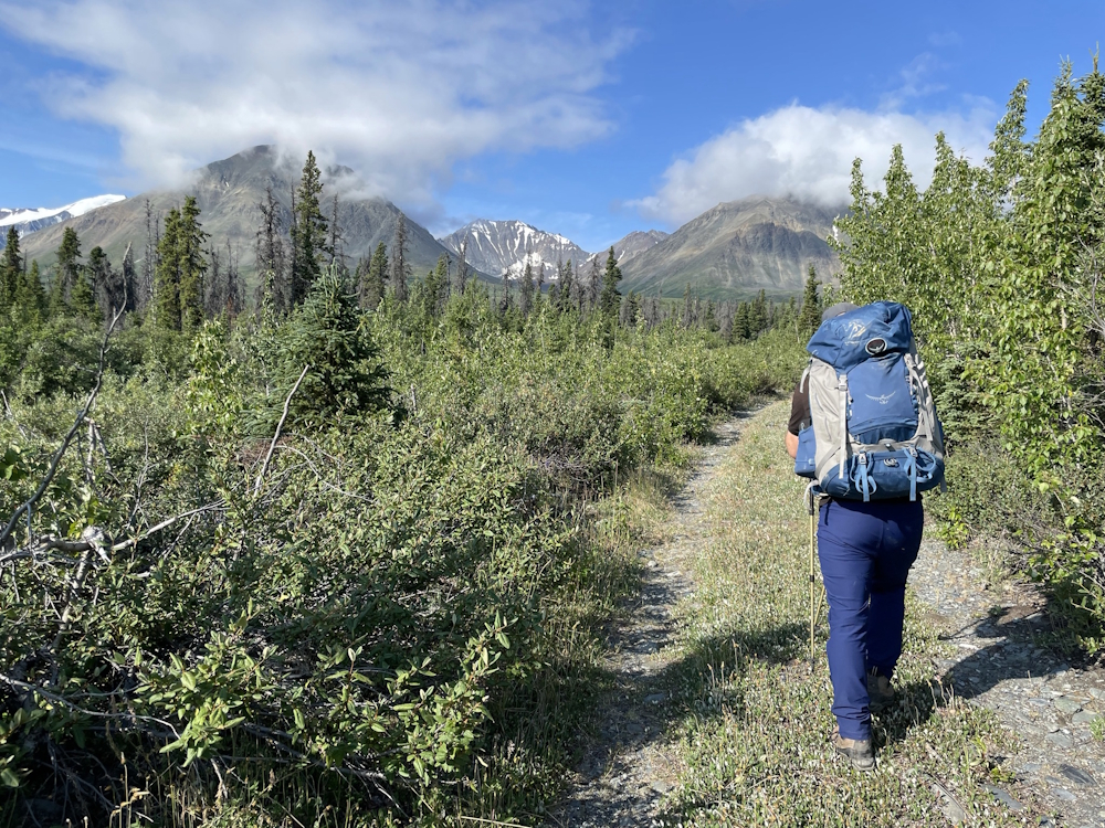
Hiking up the road that shares the same route as Mount Decoeli.
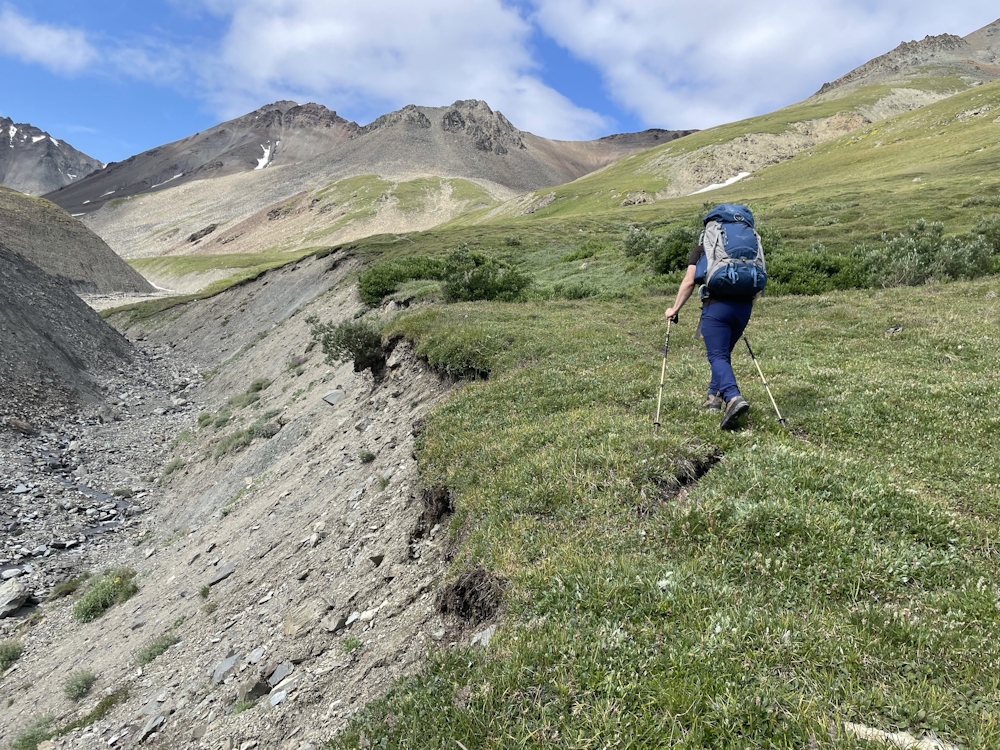
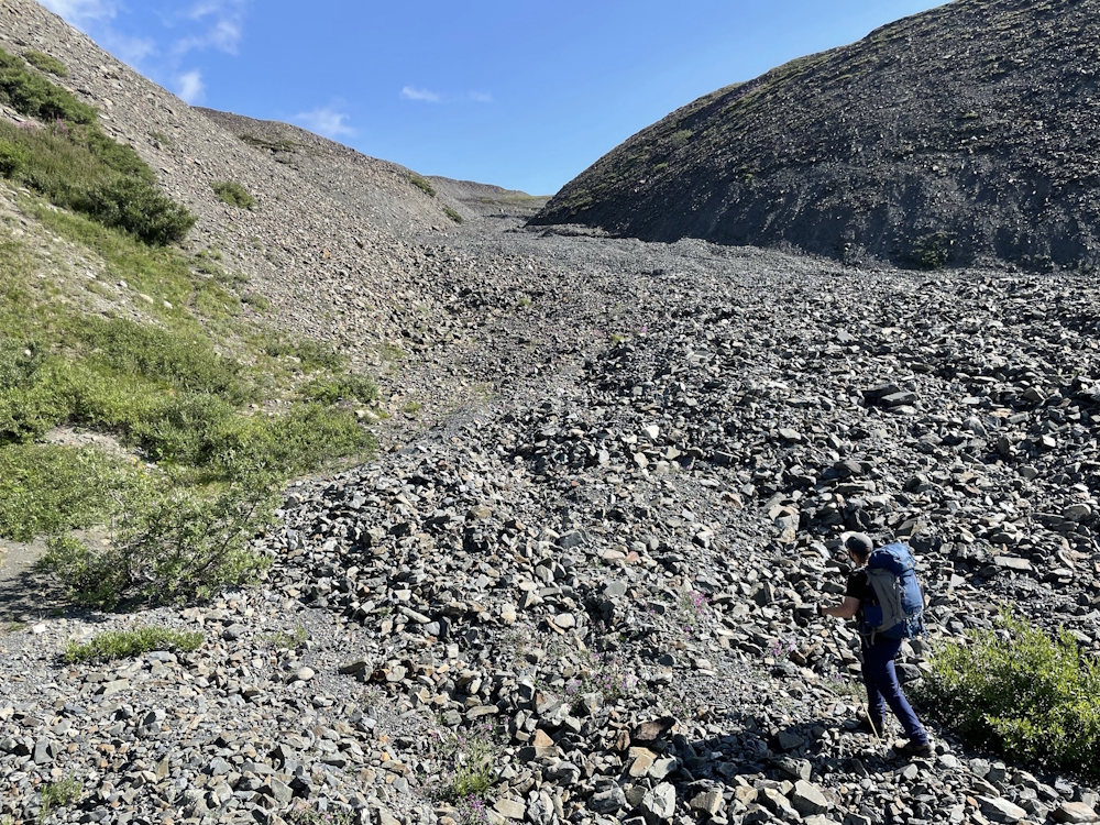
Once up the valley, you can choose to walk up the creek bed if water levels are low, or on the vegetation above it.
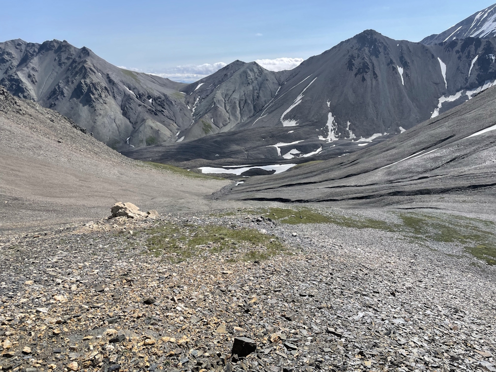
Looking back down from the top of the saddle.
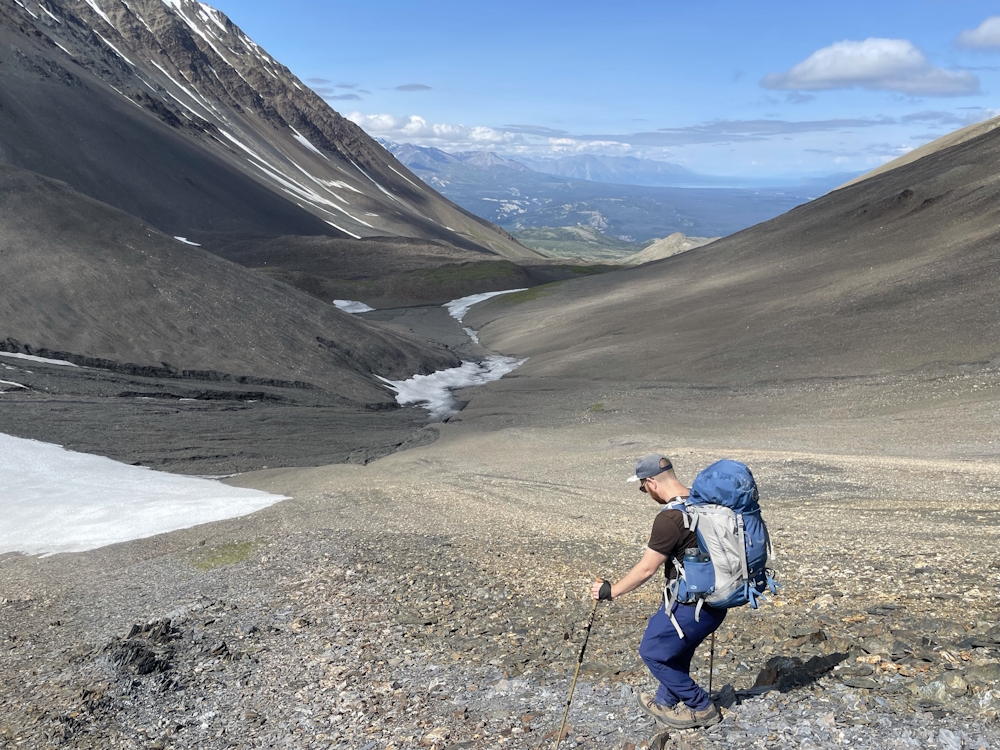
Descending the other side of the saddle. The rock moraine is on the left.
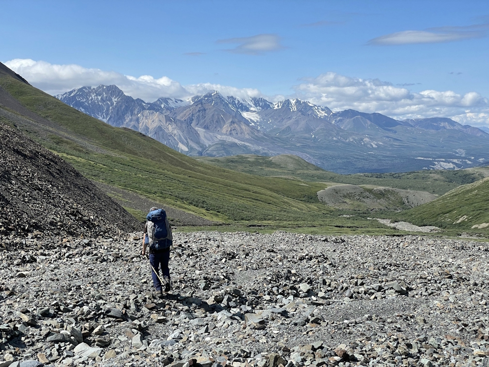
At the bottom (toe) of the rock moraine. From here, you aim to the left above the canyon below, and contour around further left.

Contouring around the mountain. This area is a mixture of meadow and tussocks and can be wet.
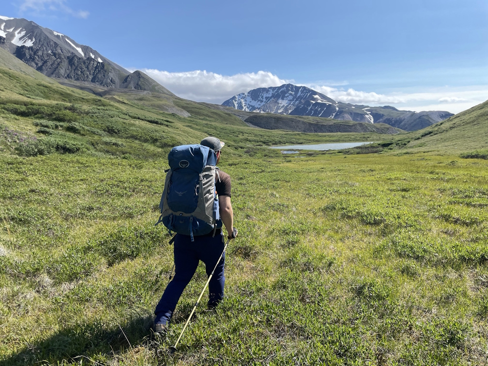
Arriving at the sub-alpine lake, which is a good place for a base camp.
If hiking to Kimberley Meadows, this is the rock glacier ramp you will aim for and climb up.
Looking down at Kimberley Meadows. Notice the multiple gulleys you will have to descend and ascend if you continue to the meadows.
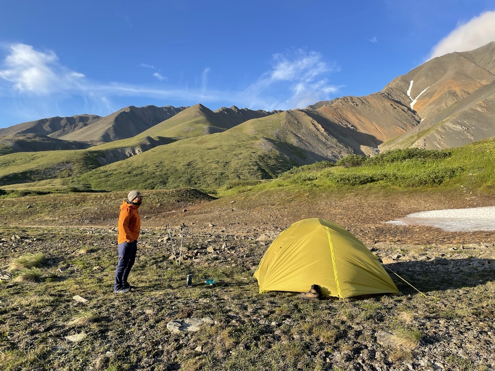
Camping at the meadows is possible, but it is exposed without much shelter and access to water is challenging.