Total Distance: 7 km
Return Time: 3 hours
Elevation Gain: 611 m
Difficulty: Moderate
Region: Tombstone Territorial Park
Traditional Territory: THFN
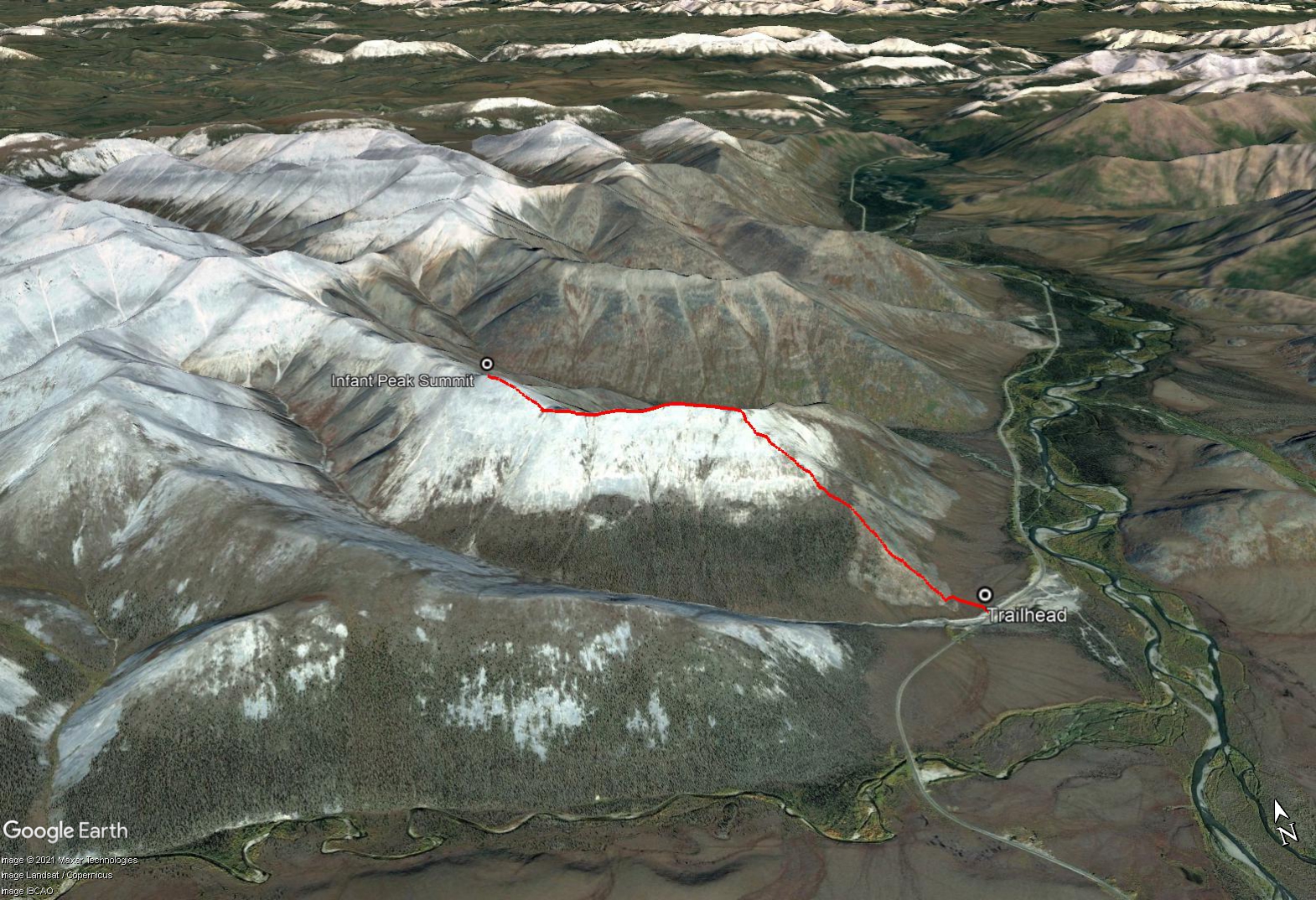
This quick but steep hike off the Dempster Highway has beautiful views of the Blackstone River Valley and the amazing ridge system of the Distincta Peak area near Windy Pass. Note this hike is not within Tombstone Territorial Park, but could be a day trip from the Tombstone Campground.
This hike is located at KM 131 of the Dempster Highway, about 60 km north on the highway from the Tombstone Territorial Campground. Look for a small pullout on the left at a large culvert draining an unnamed creek. You can start the route on the north side of this creek. You've driven too far if you reach a gravel pit and road further north on the right, about 400 m from the trailhead.
From the parking area, pick your way through the tussocks and low bush to reach the base of the rocky ridge. There are a few lightly-worn footpaths that lead up the rocky ridge at the beginning, and you can watch for cairns along the way, but there isn't anything official or well-established. Zig-zag your way up the base of the ridge, across the shale-like rocks and low shrub-birch, lichen, wildflowers and the odd spruce tree.
Just after about 1.2 km of hiking up, you'll reach a small section of the ridge that is more forested where it levels out a bit. After that you'll be in the alpine for the rest of the way over rock and alpine vegetation. Keep hiking up to a rocky looking subpeak. It gets a little bit rockier at the subpeak with some easy scrambling. There are some amazing views from the subpeak looking down at the Blackstone Valley below.
The hiking is easier along the next part of the ridge as the elevation levels out for a bit. It is 1.5 km from the subpeak to Infant Peak, which is the next obvious peak along the ridge. There is a small rocky descent and final rocky ascent to reach the top. The views of the surrounding ridges and peaks are beautiful if you have good weather. Mount Abraham is the next main peak along the ridge. It would be another ~2 km distance (one way) and 350 m elevation gain to reach Mount Abraham. A further ridge connecting from Mount Abraham to the northeast would lead you to Distincta Peak. Though there are more direct routes to Distincta Peak.
Return the way you came.
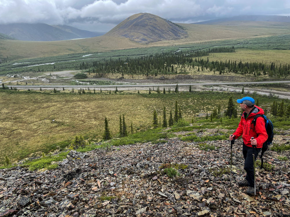
Starting on the ridge after crossing the tussocks.
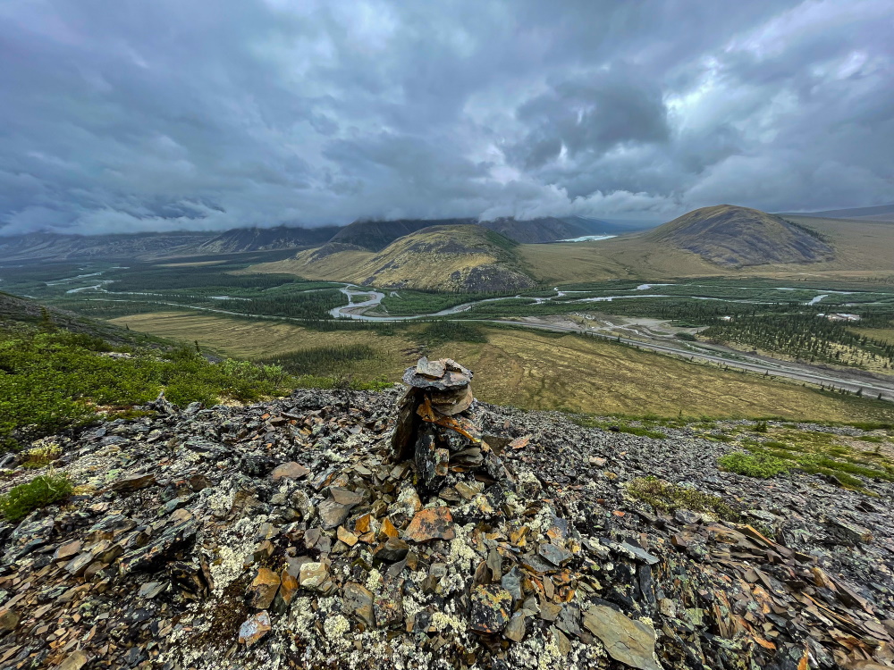
There are some rock cairns along the way but no real trail.
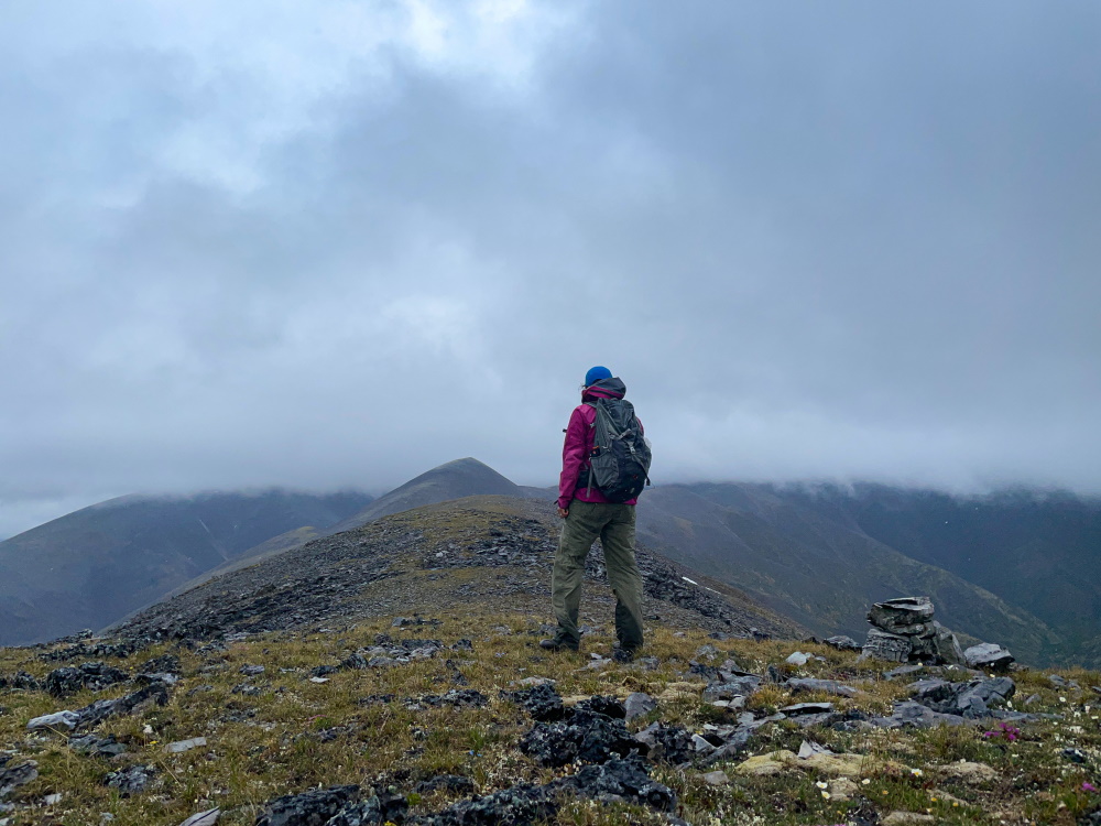
Hiking in the clouds, on the way from the subpeak to Infant Peak.
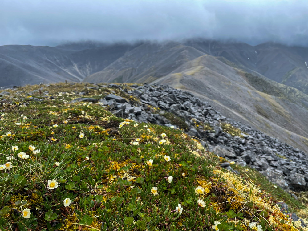
Wildflowers abound on the alpine ridges.
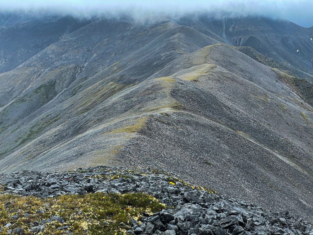
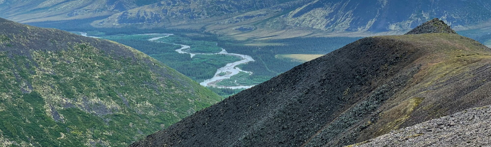
The view looking further north along the ridge from Infant Peak.
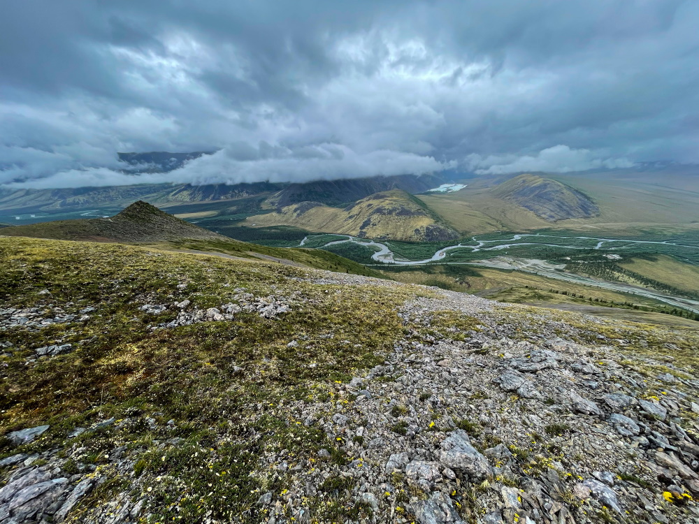
Heading back down the ridge with views looking looking northweast.
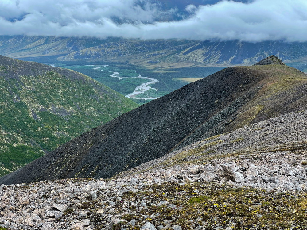
Views over the Blakcstone River valley are spectacular.
Avery August 16, 2022
My partner and I just did the Abraham Peak loop and very much enjoyed it! We went up Mt. Infant and carried on to Abraham Peak which took us about 4 hours with some stopping, lunch break etc. We then took the ridgeline that goes along the south side of the one we'd followed to provide some variety while only adding an extra 1.5 km or so. This was a gorgeous loop, all told it took us about 7.5hrs. The views were epic most of the way and for nature lovers, earlier in the summer I'm sure it would hold an amazing array of wildflowers, butterflies etc., especially on that more southerly ridgeline. Nice and quiet as well with no other hikers to be seen despite it being the August long weekend!
