Total Distance: 2 km
Return Time: 1 hour
Elevation Gain: 213 m
Difficulty: Easy
Region: Atlin
Traditional Territory: TRTFN
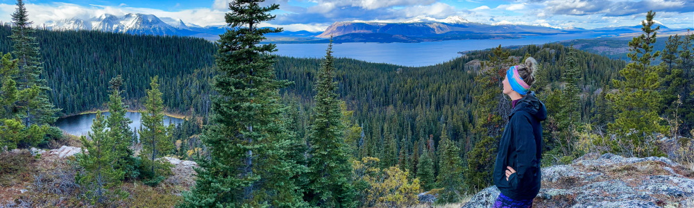
This short hike in the Atlin area starts from the Como Lake Recreation site. The trail does climb fairly steeply in parts, criss-crossing a mountain bike trail, but the views make up for it on the way up and down. The viewpoint (turn-around spot) has gorgeous views of Atlin Lake, Graham Inlet of Tagish Lake, and Mount Minto (K’iyán).
The Como Lake Recreation Site is located 4.7 km north of Atlin, BC on the Atlin Road. If you are leaving from Atlin, it is 4.7 km from the T-junction entrance to town, taking the Atlin Road north towards Whitehorse. The recreation site is on the left (west), where you can clearly see the lake, which is also a floatplane base. Watch for the dirt road that leaves the highway and heads to a larger parking area 350 m off the highway. There is a sign for the Como Bluff Trail at the trailhead and ample parking.
From the trailhead, follow a wider 4x4 trail to the west. Watch for a little hiking sign once you reach the forest, which indicates towards a small hiking path to the right. Follow this hiking path for the rest of the route.
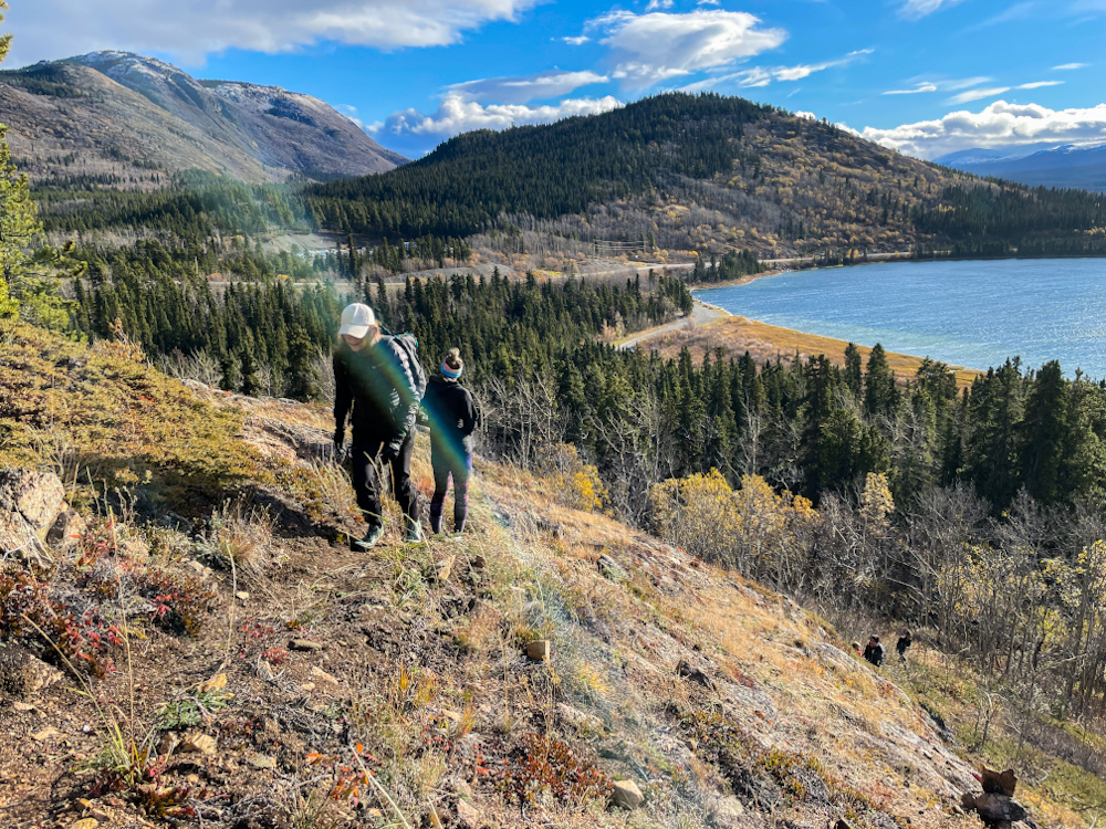
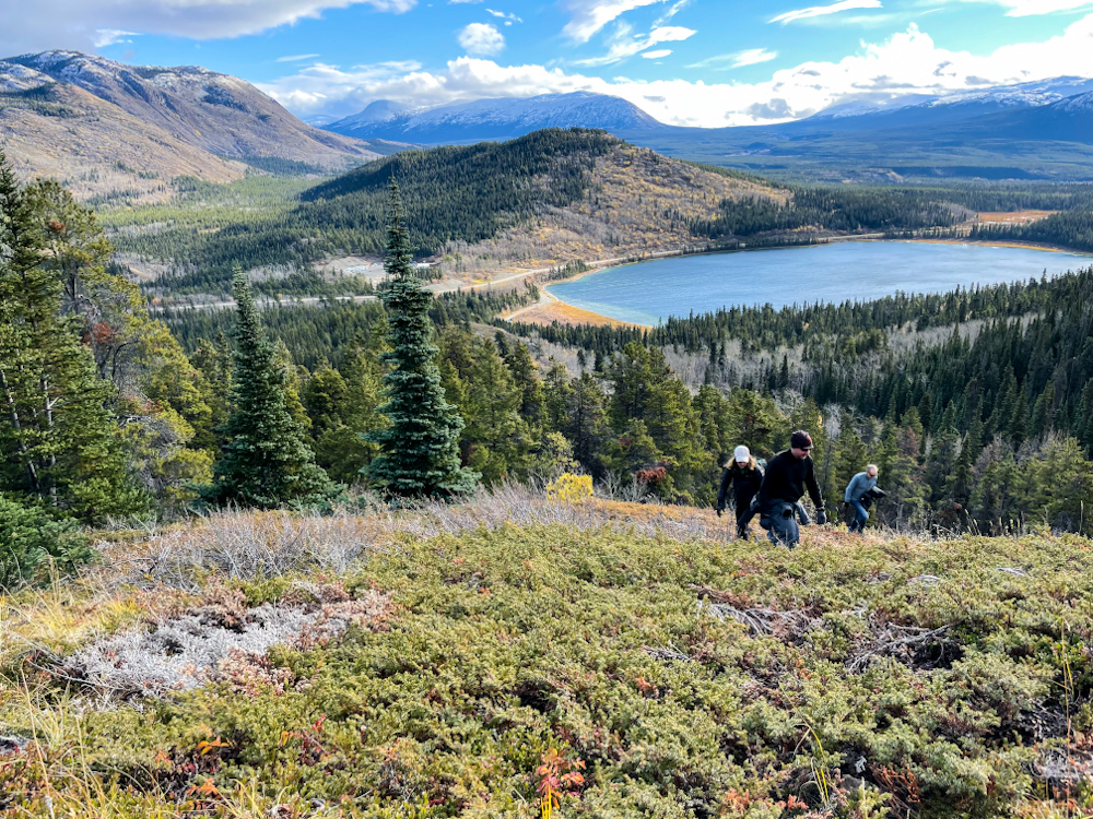
The hiking is gradual for the first 200 m and then starts to gradually climb up. There are some steeper sections as you reach the start of the bluffs. The views looking back over Como Lake and the ridges and hills to the south are beautiful. The trail goes back into the forest after one of the first bluffs and parallels the mountain bike trail. You do have to cross the bike trail a few times, just keep an eye out for the small hiker signs, and of course watch for mountain bikers.
It doesn't take long until you reach the next section of rocky bluffs where you get the final viewpoint over to Atlin Lake and beyond. Directly to the west is Graham Inlet of Tagish Lake with Atlin Mountain and Table Mountain on either side of the inlet area. Mount Minto (K’iyán) lies up Atlin Lake to the north.
Follow the same route down.
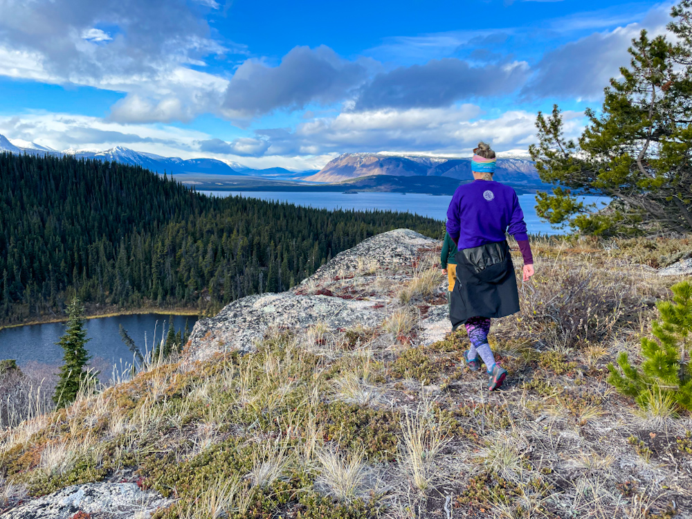
Hiking up the first bluff, with Como Lake below.
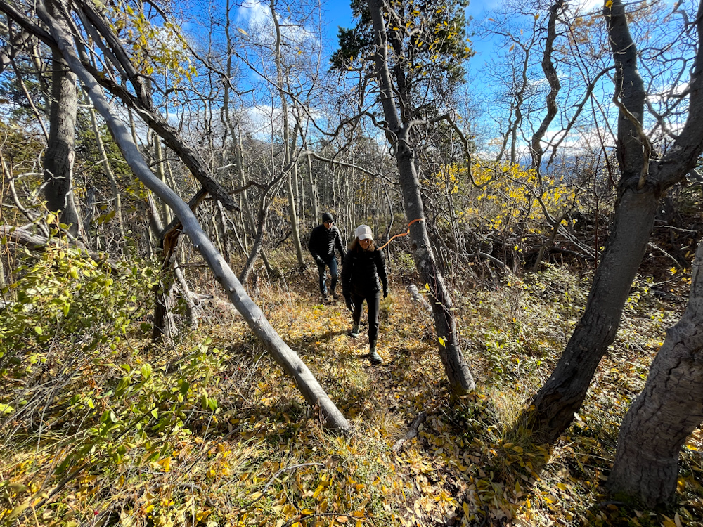
Following the trail through the forest, paralleling the mountain bike trail.
Views from the second bluff looking back towards Como Lake again.
Getting closer to the final viewpoint with views of Atlin Lake.
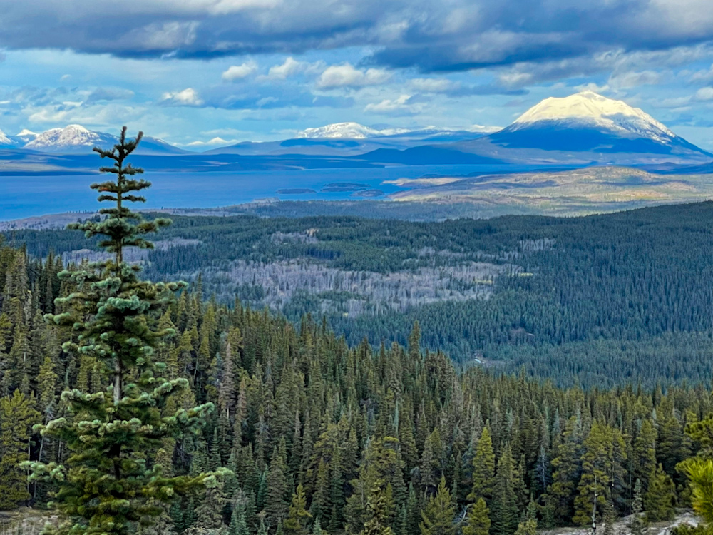
Mount Minto can be seen to the north end of Atlin Lake.

