Mission Mount Granger
January 01, 2023 by Meghan Marjanovic
Location: Whitehorse
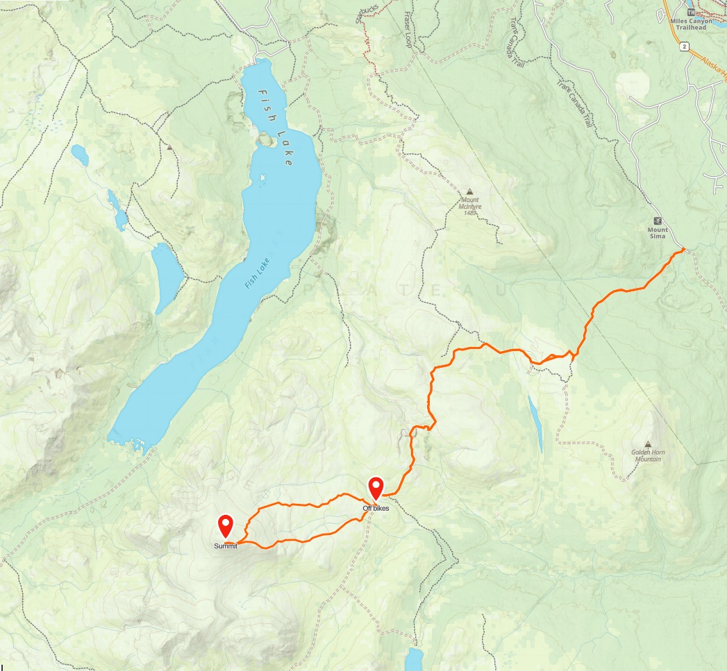
Mount Granger is a prominent mountain near the southern end of Fish Lake. It has been on our radar for years but is quite a mission as a day trip. Looking at the maps, we calculated that it would be a 40 km return trip with nearly 1,700 m elevation gain via a series of backroads, ATV trails and bushwacking.
In the summer of 2022, we took the plunge and decided to give it a try as an epic day trip with the help of our e-bikes. We asked our friend Darren to join us, who is always keen on a good mission in the mountains.
Our plan was to bike about 16 km via the backroads, to a point where we could hike up a rougher ATV trail to the southern face of Mount Granger. From the satellite imagery, it looked like there would be a short section of bushwacking to reach the alpine.
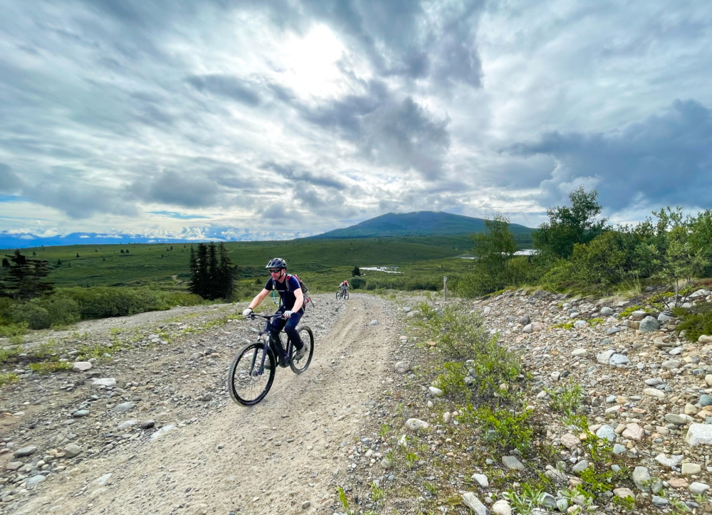
Making it up the Coal Lake Road to the plateau below Golden Horn.
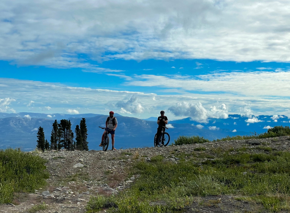
Starting the climb up to the pass south of Mount MacIntyre.
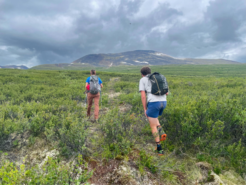
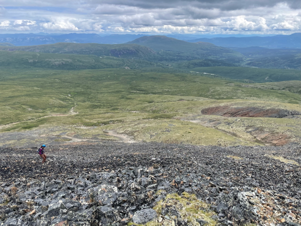
We dropped the bikes in the bush and switched gears into hiking mode. The ATV trail offered easy access through the subalpine shrubs, but petered out after about 500 m. The bushwacking was relatively easy though as we continued directly west to get closer to the more gradual-looking north face of the mountain. The bugs were horrendous. It was hard to take a picture without 20 photo-bombing mosquitos in it.
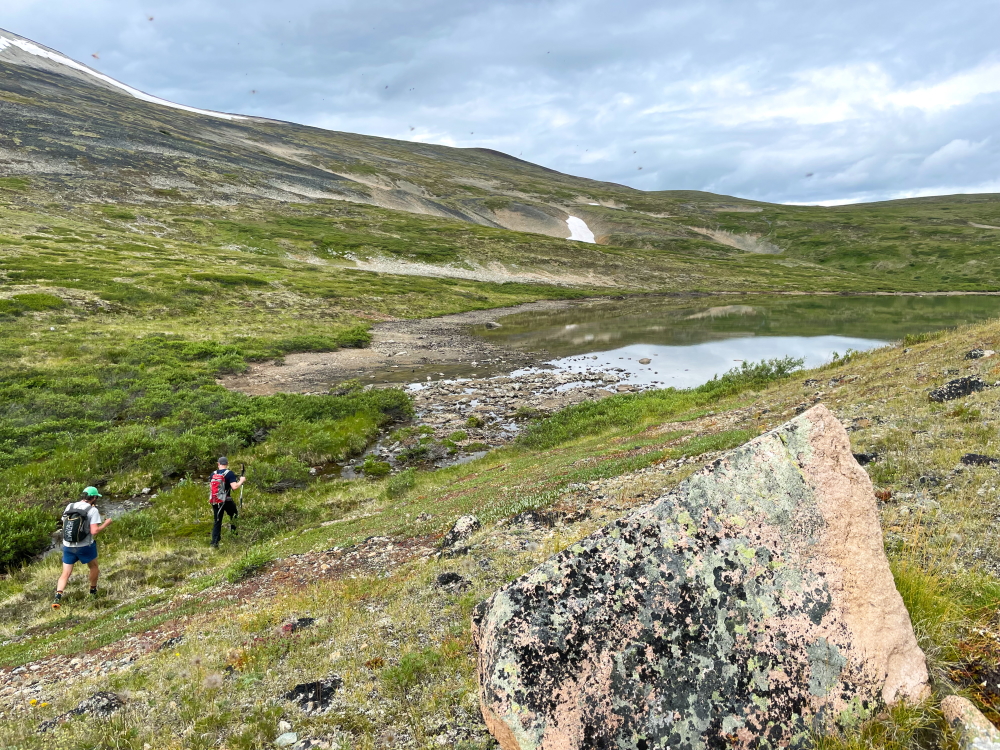
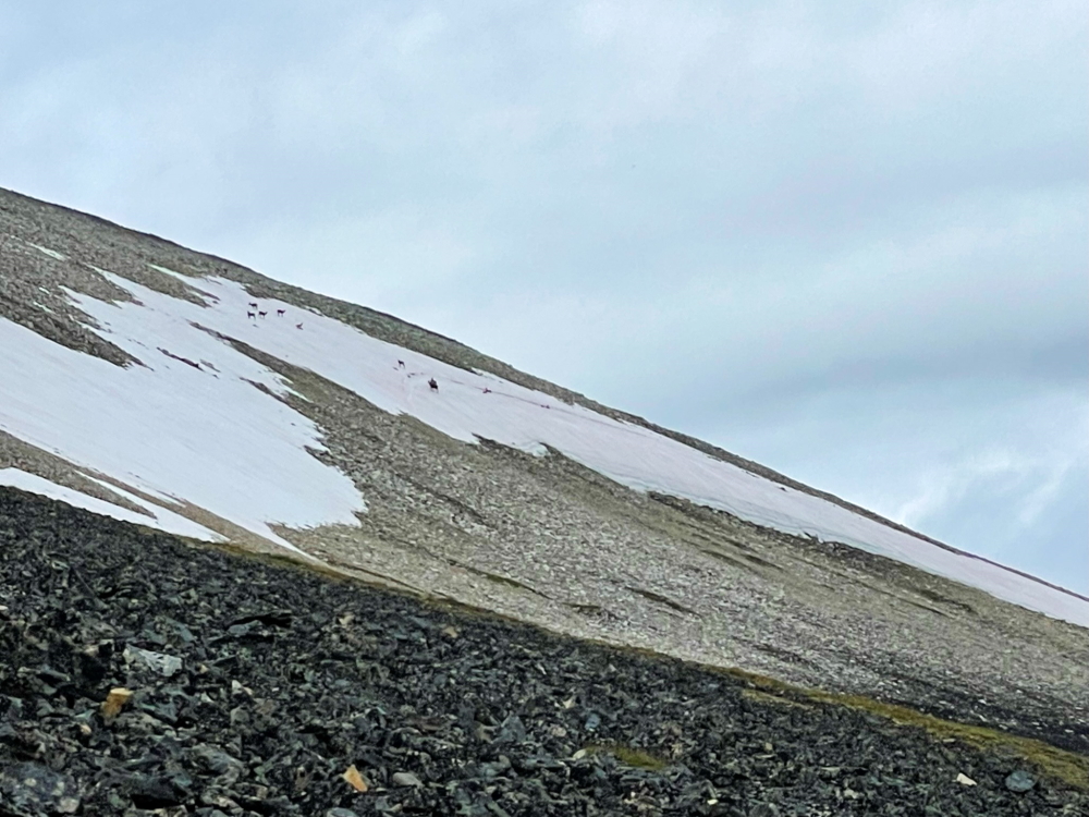
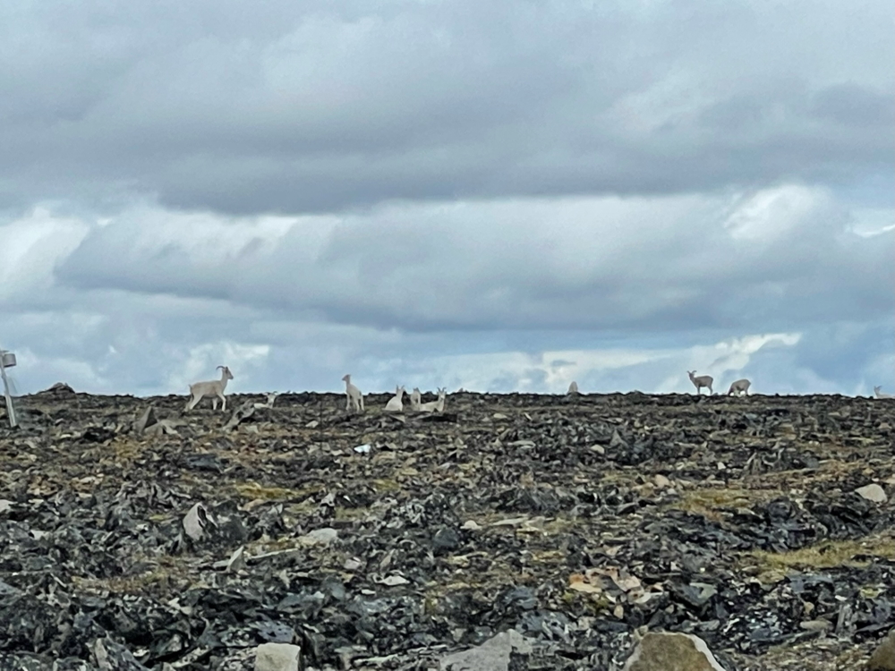
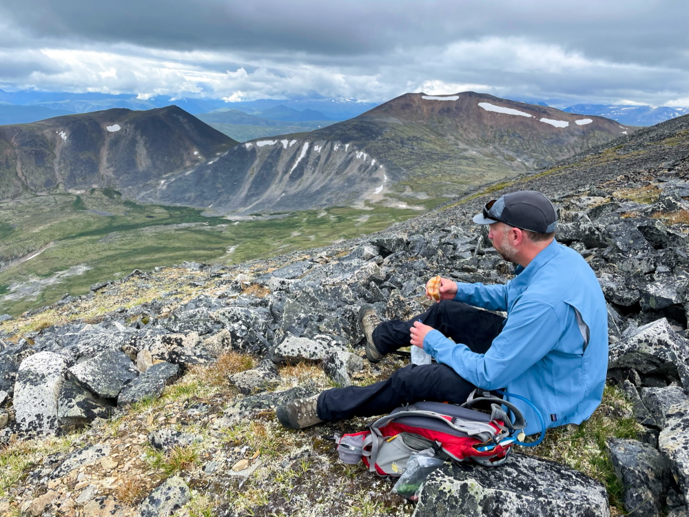
We adjusted our course again more to the east shoulder of the mountain. At this point, I decided to save my energy for the descent and epic bike ride home and let the guys go ahead to the summit, if they could avoid the sheep.
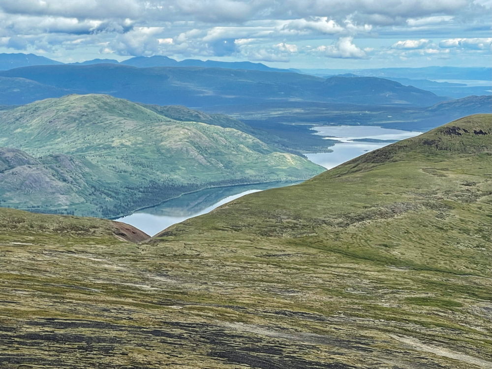
I found a beauty lunch spot looking south into the next little mountain valley. Meanwhile, the guys had reached the rounded summit cairn, with a beautiful view looking north over the extent of Fish Lake. The water looked like glass, with not a breath of wind, something you don't see very often on Fish Lake.
Then all we had left was to make the arduous ride back up to that pass before making our way over to the plateau below Golden Horn. Before we knew it, we were white knuckling down the Coal Lake Road, and back to our vehicles.
It was certainly a mission, even with the help of the e-bikes. Would we recommend this trip? Not really, unless you have had your eye on Mount Granger, like we had. The hiking itself is not super exciting, the views are good but not specatacular, and it is a lot of travel on these terrible back roads.